User:Chuq/Maps/Tasmania
Appearance
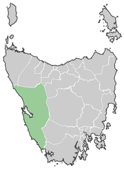
Here are some locator maps I have done for Local Government Areas of Tasmania. Original images are 370-400px wide. Best displayed as a 250-300wide thumbnail I have found. The images on this page are resized to 180px. The only ones that need work are Kingborough (missing half of Bruny Island) and Devonport (maybe a little too small). All maps have been drawn by me (User:Chuq) using public domain outline maps from the internet.
Some maps of Australian states at various points in history. I'm not sure where is the best place to put them yet:


I used a page I found (I forget where) on the net for ideas (particularly colours) however these maps were created from this existing Wikipedia image:


